Much More Hiking to Come.... Thanks to Taryn's New Job
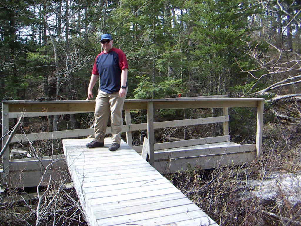 Last Sunday Greg and I headed out on yet another hike. This time we were aiming to hike a trail on the Salmon River in nearby Dartmouth that was made by fisherman hiking upstream. We had heard that there was still lots of blowdown from Hurricane Juan in 2003 and that the trail was in rough shape. Within the first 10m we found this to be very true. The trail detoured almost into the lake to get around the blowdown and the bridge had been hit hard. It had been pushed downstream a few meters and turned sideways. The piece of decking Greg is standing on is actually perpendicular to the stream flow. This made for one of the more challenging bridge crossings I've ever done!
Once we made it over the bridge, however, we found that the trail was very clean, recently brushed out, and very well marked. Strange since the entrance seemed to be in such bad shape. We eventually ran into some trail builders who explained that we were on part of a new and expanded trail system that was not yet open and that the old trailhead was closed so they wouldn't be brushing it out.
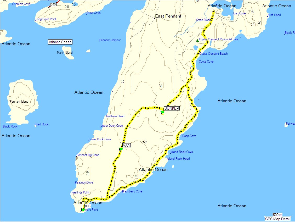
 Instead of following the northern portion of the unmaintained Salmon River trail over a sketchy half underwater bridge we got to follow the beautiful new trail system over a ridge then down to West Lake. We think this will become our new favourite place to hike. And with a 30 minute driving time, it's somewhere we can go quite often. Next time we plan to start from the east trailhead (at the top right of the map) instead of the now closed Salmon River trailhead on River Road (bottom left of the map). That way we'll get to see the other half of the trail system that we haven't seen yet.
We'll get to do lots of hiking because I have a new job for the summer in retail, which means flexible hours. My new job is also at my favourite outdoor store in the world, wait... make that my favourite store in the world, so my staff discount means I can afford some sweet new gear, even on my limited budget. I'm excited!
posted by Taryn @ 10:05 PM
0 comments
![]()